Disclosure: This post contains affiliate links, which means I may get a small commission AT NO ADDITIONAL COST TO YOU. You will get the product for exactly how much it is sold in the marketplace, and you will be helping a mom to keep writing these guides. All opinions are of our own, and none were provided or influenced by the companies or individuals.
![]()
Map of Hiking Trails in the Presidio and Lands End
Hiking Trails in the Presidio
There are so many trails in the Presidio, we have always been overwhelmed as to which ones to try! This map by the Presidio makes it kind of easy, and you can choose the suggested loops. Here are our summary and our favorite ones with kids!
Baker Beach to Golden Gate Bridge
![]()
MaximumMiles: 3+ miles
Terrain: Sometimes narrow, sometimes on the beach, sometimes close to the road, so carriers or walking kids (no wheels) are the best options for this hike.
What you will see: This is such a gorgeous hike! You will see the Golden Gate Bridge and stunning ocean views all along the way, and it’s so cool to end the hike at the Bridge!
Golden Gate Bridge
![]()
Maximum Miles: 2 miles
Terrain: Paved, sometimes shakey and loud
What you will see: Ocean views and city views. It’s pretty loud and vibrations and wind can be strong, so keep that in mind for any sensitive kids. Non-electric scooters are allowed, but there are usually many people so you will have to yield to and use caution against pedestrians. Dogs are not allowed.
Crissy Field and East Beach
![]()
Maximum Miles: 2 miles
Terrain: Sandy but paved path all around
What you will see: Views of the Golden Gate Bridge, Angel Island, Alcatraz, lots of fellow walkers/strollers/bikers/scooters/runners, and dogs! You will end up at the East Beach, which is a perfect kids’ beach because of generally mild waves. You could go on the other side of the Crissy Field Marsh as suggested in the Presidio Trail Map, but we like to stay on the path closest to the ocean to stay close to the water for the views both ways!
https://www.instagram.com/p/BZ_ji92g9sw/
Main Post Kids Loop (Through Lover’s Lane, Julius Kahn Playground, Ecology Trail)
![]()
Maximum Miles: 2 Mile Loop
Terrain: It is pretty hilly, steps, and some parts narrow, so bring your hiking sticks!
What you will see: Lover’s Lane – gorgeous trees! There is a playground (Julius Kahn) at the top of the hill = motivation to keep walking and take a break once you get there. The ecology trail will take you through San Francisco’s only freshwater stream. Pretty cool, right? You can also hit up the Inspiration Point Overlook for the views of the Bay, Alcatraz and Angel Island. Park by the large parking lot near the Presidio Officers Club. (Also, I totally made up the name of this hike. Get directions to the Presidio Officers club and park there and follow the map!)
The Spire Trail
![]()
Maximum Miles: 1 mile
Terrain: Dirt path. Sturdy and stroller friendly.
What you will see: Gorgeous Eucalyptus (?) lined trees. Many nooks for picnics, tree stumps to sit and have a snack, and the Spire.
Main Post to Palace of Fine Arts
![]()
Maximum Miles: 2 miles
Terrain: Paved but hilly and some parts close to traffic, so advanced scooters only.
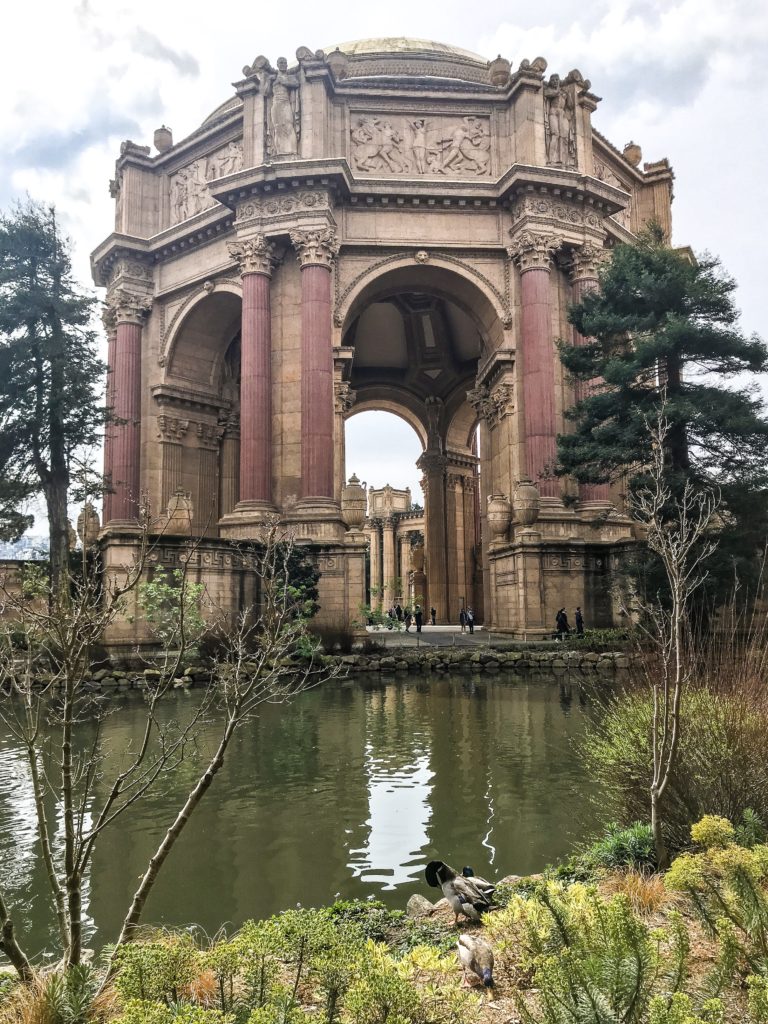
What you will see: Check out the quieter side of Presidio by going in and out of office buildings, then to the Palace of Fine Arts where you can stroll around the lake and the building feeling like you are in some kind of an ancient city. Around the Main Post, you can check out the Presidio Officers Club, the Walt Disney Museum, and when in season, the Presidio Picnic!
Hiking Trails in the Lands End
Land’s End and Sutro Baths
![]()
Maximum Miles: 4 miles
Terrain: About half-2/3rds of this trail is scooter/stroller friendly, and rest you will have to carry the scooter/stroller or baby up and down some steps and rough trails.
What you will see: One of the best views of the Golden Gate Bridge, ocean views, spring flowers, can walk up to the Legion of honor, Lands End Lookout Visitor Center has a gift shop and cafe, Sutro Baths. Bathrooms are located at the Lands End Lookout Visitor Center. For more information on what to expect when going to Lands End, check out our post here. You could go further up the trail, up the steps, and continue on to views of the China Beach, but the trail beyond the stairs are not so scooter/stroller friendly. You could also go up to the Legion of Honor from here, which is fun to just even hang out outside by the columns!
https://www.instagram.com/p/BgB8yngg3fJ/
Sutro Heights Park
![]()
Maximum Miles: 1 mile
Terrain: Somewhat paved, some dirt roads.
What you will see:
The quiet park across the street from Lands End. The views of the ocean here are amazing, and it’s definitely not as crowded as Lands End.
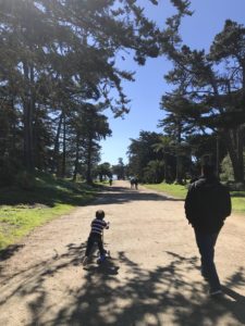
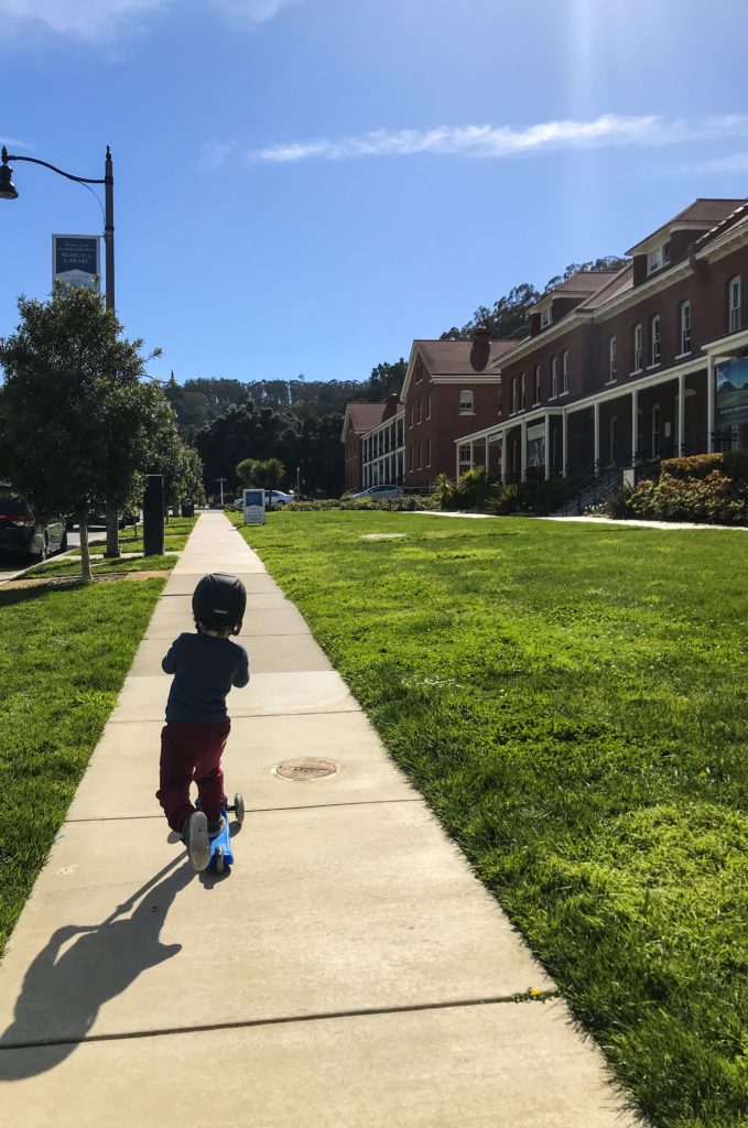
*He has a helmet, he was just posing for this pic. 🙂
Map of Hiking Trails in the Golden Gate Park and the Sunset District
Hiking Trails in the Golden Gate Park
Music Concourse/John McLaren Memorial Dell/Shakespeare Garden
![]()
Maximum Miles: 1-1.5 miles
Terrain: Paved with some hills in the John McLaren Memorial Dell
What you will see: You will pass by DeYoung, California Academy of Art, and through the Music Concourse where you may see groups of people practicing Tai Chi in the morning, free concerts, 2 fountains, lots of sculpture, art pop-ups, and so much more. Shakespeare Garden is a cute spot to have a picnic (no picnic tables but benches and grass). John McLaren Memorial Dell is a winding hilly area and much quieter than the other parts of the park. You can go on the paved trail, or there is some dirt trail that goes through to the other side of the park. Go towards the Lily Pond and you will feel like you are in a tropical jungle! You can extend your hike through here, and go to the Conservatory of Flowers (featured below). If you do, don’t miss the rollerbladers on the way! 🙂
https://www.instagram.com/p/BZB-6Ymg0vP/
Conservatory of Flowers and Surrounding Areas
![]()
Maximum Miles: 1-1.5 miles
Terrain: Paved and some dirt paths so the entire trail is not completely scooter friendly. May have to carry/walk the scooter at some points.
What you will see: Conservatory of flowers, Dahlia Garden, Peacock Meadow. You can extend your hike to include other dells and meadows. The grounds in front of the Conservatory of Flowers is a nice place for a picnic on the grass or rolling down the hill.
https://www.instagram.com/p/BhPFEVLAIEI/
Stow Lake Double Loop
![]()
Maximum Miles: 2-2.5 miles
Terrain: Outside loop is paved but maybe too narrow, rough, and busy for beginner scooters. Scooters may not be entirely allowed…) Inside loop is dirt so not ideal for scooters, but doable. Stroller friendly all around, but will have to carry it a little by the waterfall.
What you will see: You will see a waterfall on this hike if it’s running (it’s still pretty when it’s not), lake, boathouse (pedal boats and canoes for rental), Chinese Pavilion (our favorite place to picnic), ducks, hedgehogs in the spring, walk all the way up Strawberry Hill for peek-a-boo views of the Golden Gate Bridge and the City! Snacks and drinks for purchase at the boathouse. Restrooms are located there as well. Some picnic benches and picnic tables available. Plenty of parking usually around the lake.
https://www.instagram.com/p/Ba6tD1NghR1/
Botanical Gardens
![]()
Maximum Mileage: Around 2-3 miles if you go through the entire area
Terrain: Mostly paved, some dirt, and some narrow dirt trails only suitable for carriers.
What you will see: Lots and lots of native plants as well as plants and flowers from around the world! Check out the flower pianos usually in July and the world famous magnolias around February-March. A couple of bathrooms are available and benches and grass for a picnic. No dogs allowed.
https://www.instagram.com/p/BgG_8iGHlcD/
Golden Gate Park Beach and Back
![]()
Maximum Miles: 6 miles
Terrain: There is a paved way to do this entirely, but it does get pretty hilly (so advanced scooters), John F Kennedy does block off traffic on the weekends and that’s a great time to practice your scooter skills! There are inner trails that you can walk through, and those are best done by baby carriers.
What you will see: So much! The Big Blue Boat Playground, Bison, Lake, Ocean, Park Chalet for Lunch, Waterfall, Ponds, golf course, lots and lots of picnic places! To be honest, we’ve never done this with our kids (3 and 1 years old), but with Henry (3), I think we can do this one of these days with the combination of scooting, walking, and stops. It will take all day long (he doesn’t nap) but it will be doable! With just a baby, you could do this with the combo of strolling and baby carrying to keep him/her comfortable.
https://www.instagram.com/p/BbiJAUCgB7z/
Hiking Trails in the Sunset District San Francisco
16th Avenue Steps to Grandview Park
![]()
Maximum Miles: 1 Mile
Terrain: Steps, road, and dirt hills. Definitely, carriers/walking only. If you have an umbrella stroller, you could carry that separately but it is uphill all the way and lots of steps.
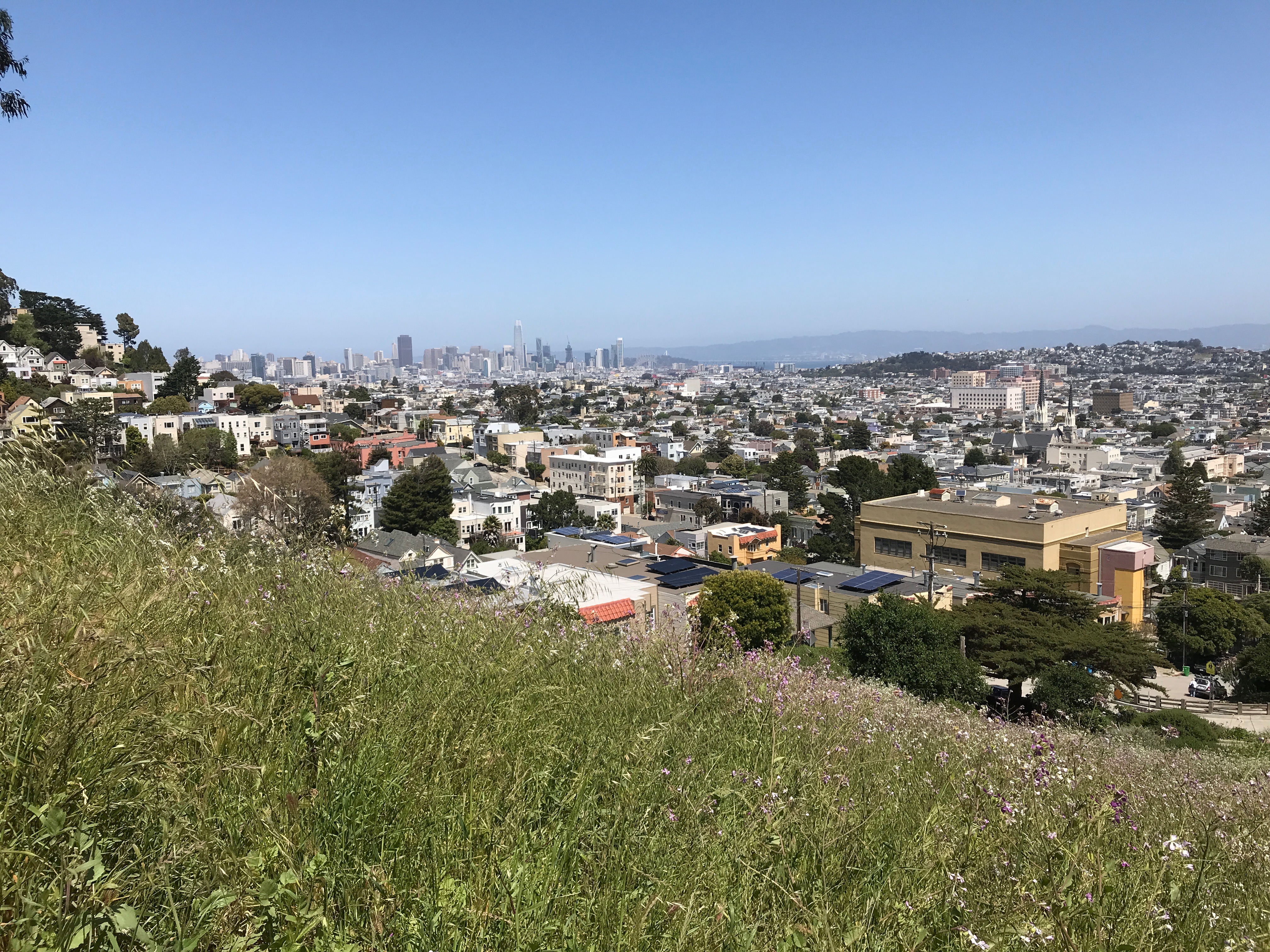
What you will see: World famous (?) mosaic tiled steps and the best 360 view of San Francisco (in my opinion). You will see the downtown skyline to your right, the Golden Gate Park and Bridge to your front, and Ocean Beach and Daly City to your left on a clear day!
https://www.instagram.com/p/BgrAPM4gx_O/
https://www.instagram.com/p/BaH6lfAFeNl/
Ocean Beach and Great Highway
![]()
Maximum Miles: 6 miles
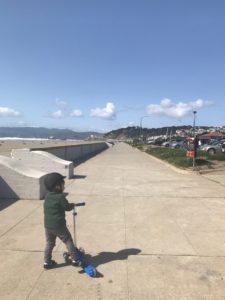
Terrain: Paved (but uneven and rocky) on the Great Highway trail, sandy but paved on the Ocean Beach side (not as long of a trail), and Ocean Beach itself is a sandy beach so the carrier is recommended. If you go from Lincoln towards Lands End (where the Cliff House is), then it’s about a mile each way of a paved flat area next to the Ocean Beach.
What you will see: Miles and miles of ocean! There is a great cafe (Java Beach Cafe on Judah) to stop over a block over, and you will end up at the zoo! Parking is street parking on Great Highway/48th Avenue, there is usually plenty of it. There are bathrooms at least on Taraval and at the end of Sloat.
Lake Merced
![]()
Maximum Miles: 5 Miles
Terrain: Paved with some hills and close to the road so best for advanced scooters.
What you will see: The lake, rowers, and San Francisco State campus. I know I’m not selling this place really well, but it’s still a nice stroll to walk around this lake! There is a lot of traffic on the nearby street, with some hills, so advanced scooters are recommended.
Fort Funston
![]()
Maximum Miles: 1 mile round trip paved, 1.5-2 miles + or so total with a carrier.
Terrain: 1 mile paved and stroller (scooter but steep hills) friendly. Park closest to the ocean for the stroller friendly path. Many other trails for non-wheels which are very sandy.
What you will see: Ocean, city (houses) and Lake Merced views. Lots and lots of dogs! It is fun to play with all the beach sand by the paved path. There are lots of dogs off leash, so if that’s something you don’t want, it’s a place to avoid. There is a path down the beach, but it’s a steep sand path, FYI.
https://www.instagram.com/p/Bhb1tXlAeJ1/
Stern Grove
![]()
Maximum Miles: 2 Miles
Terrain: Mostly paved paths with some barky grounds to cover.
What you will see: Concerts in the summer, playground, dog play area, tennis, horseshoe, frisbee, Pine Lake.
Map of Hiking Trails in the Marina, Fisherman’s Wharf, Downtown & the Embarcadero
Hiking Trails in the Marina District San Francisco
Yacht Harbor to Ghirardelli Square
![]()
Maximum Miles: 3 Miles
Terrain: Paved – some parts hilly and bumpy, so may have to carry the scooter.
What you will see: Yachts, fancy houses on the water, grassy area by the Bay, Fort Mason grassy park and end up in Ghirardelli Square! Want ideas on what to do when you get there? Check out our posts on free things to do around there and how to spend the morning there.
Hiking Trails in the Fisherman’s Wharf, Embarcadero, Downtown Areas San Francisco
AT&T Park to Fisherman’s Wharf
![]()
Maximum Miles: 2.5 miles one way and take the E train back, or 5 miles round trip
Terrain: Paved all the way.
What you will see: So much! Waterfront views all the way, you will walk by the Exploratorium, Ferry Building, Rincon Park, at least 2 playgrounds, and end at AT&T Park. You will see lots of sailboats along the way. We love grabbing sandwiches at the Java Cafe and sitting outside on their seating there. When you are done and don’t want to go back the same way, you can take the E train back!
https://www.instagram.com/p/Bggq2-8HGiT/
The Urban Jungle – Fisherman’s Wharf to Union Square (via North Beach and Chinatown)
![]()
Maximum Miles: 2 miles one way and take the cable car back, or 4 miles round trip
Terrain: Paved, but busy and crowded roads, so best for advanced scooters only. Could bring your dog along, but again, it’s a lot of busy streets.
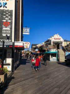
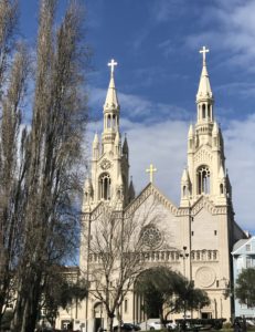
What you will see: This is an urban jungle walk, meaning you will be walking in city streets. Perfect for tourists because you hit up 4 major touristy places in one walk! Start at Fisherman’s Wharf, walk up through North Beach (have lunch at Tony’s Pizza or get it to go and eat at the Washington Square Park, then make your way through Chinatown (we love Capitol for a casual lunch – cash only), check out the Dragon’s Gate, and end at Union Square! It’s about a 2-mile walk to here, and if you don’t want to walk back, catch a cable car back or there are plenty of buses that run between Union Square and Fisherman’s Wharf.
Yerba Buena Center and Gardens
![]()
Maximum Miles: 1 mile
Terrain: Paved
What you will see: Fun shops, Children’s Creativity Museum, a water feature that kids can play with, playground, bowling center, carousel, and a pretty garden area in the middle of the city.
Map of Hiking Trails in San Francisco’s Neighborhoods
Hiking Trails in the Cole Valley/NOPA/Haight Neighborhoods
Panhandle
![]()
Maximum Miles: 2 miles
Terrain: Paved
What you will see: Lots of trees and grassy areas, basketball hoops, and a gated playground. Watch out for bikers!
Buena Vista Park
![]()
Maximum Miles: 1-2 mile
Terrain: Paved and not paved. Hilly and lots of steps if you want to have a longer hike – carriers will be best.
What you will see: Nice views, simple playground and pretty trails (and “characters” from Haight area).
Corona Heights Park
![]()
Maximum Miles: 1 mile
Terrain: Hilly and dirt paths
What you will see: Gorgeous views of the City, SF Bay, and Mount Diablo on a clear day. Randall Museum is just right down the street, it’s free, it’s easy, and a quick stop to check out the indoor petting zoo and more. There’s also a playground there.
Kite Hill
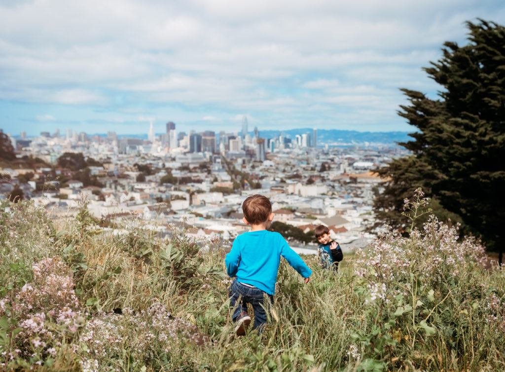
Maximum Miles: Not even 1 mile
Terrain: Hilly and steps – carriers and walkers only
What you will see: Gorgeous views of the city. Wildflowers when in season. Benches to sit on and a big tree stump to climb on.
Mount Sutro Open Space Preserve
![]()
Maximum Miles: 1 mile
Terrain: Hilly and steps – carriers and walkers only
What you will see: You will be like “where is this place in the middle of the city?” It feels like you are totally in the woods, but you are only like a block away from UCSF. Pretty cool little park.
Hiking Trails in the Twin Peaks/Glen Park/Forest Hill/Bernal Heights Neighborhoods
Glen Canyon Park
Maximum Miles: 2 miles
Terrain: Some paved path but stairs and dirt trails.
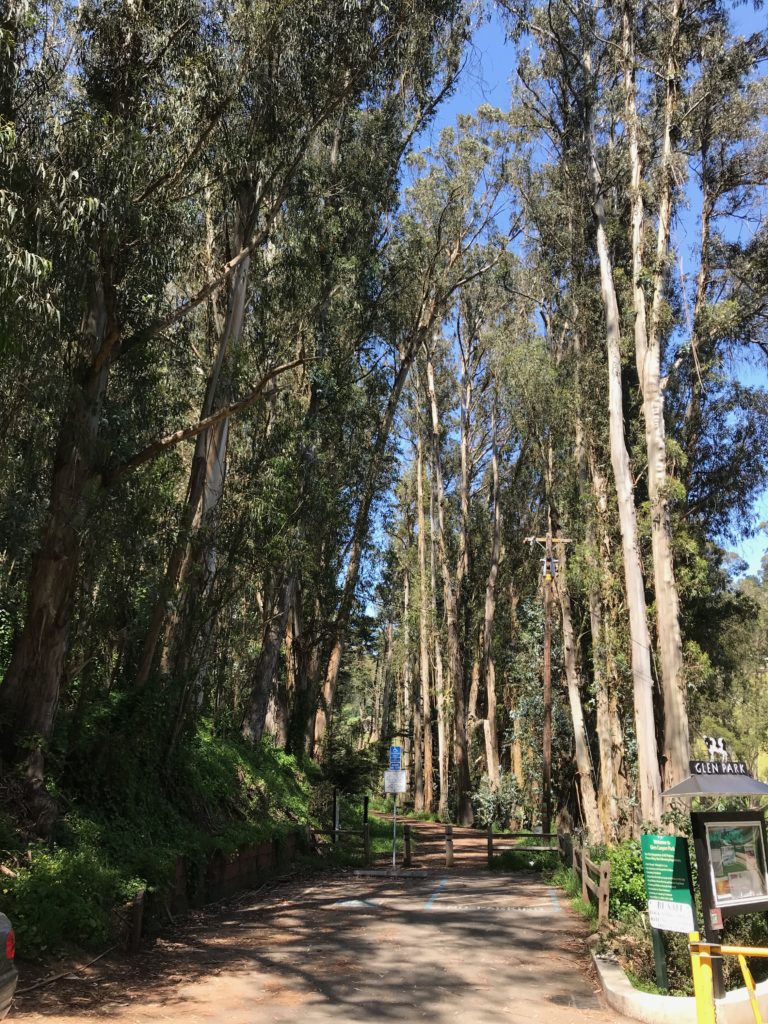
What you will see: Playground, lots of trees, and Islais Creek. A baseball diamond and a rec center. Scooter-able paths around the playground and rec center.
Twin Peaks
Maximum Miles: 2 Miles
Terrain: Partially paved, or on the road (lower peak doable with a stroller), higher peak is dirt and steep hill so best for carriers.
What you will see: Ahhmazing views of the city. There usually are a lot of people smoking up at the top where you can park, especially at nights. Just a heads up.
Mt Davidson
![]()
Maximum Miles: 1 mile
Terrain: Hilly, best for carriersWhat you will see: Big huge cross on top of a hill with gorgeous views.
Billy Goat Hill
Maximum Miles: 1 mile
Terrain: Steps and pathways. The playground is reachable (from the road) via stroller but you won’t be able to get to the top of the goat hill by a stroller.
What you will see: Gorgeous views of the city, peace, and quiet, and a playground. This is where that cool swing used to be with the IG pictures with the city backdrop. The swing is no longer there, but it’s still gorgeous – and a perfect beginner hike since it’s short.
Bernal Heights Park
![]()
Maximum Miles: 1 mile
Terrain: Mostly paved all the way up the hill.
What you will see: Gorgeous views of the city, sutro tower, labyrinth rock formation, Michelle’s Ice Cream close by. 🙂 There may be a swing where you can swing and take pics with the backdrop of the city. (I say “may” because swings get taken down all the time. Just like the one at Billy Goat Hill…)
Hiking Trails in the Excelsior Area
John McLaren Park
![]()
Maximum Miles: 7+ Miles
Terrain: Mix of paved and off-the-beaten-path
What you will see: Ponds, multiple playgrounds, swimming pool, picnic areas, lake, the 2.7 mile Philosopher’s Trail (loop trail) that includes views of the ocean, bay, and downtown.
Hiking Trails in the Nearby Islands – Angel Island and Treasure Island
Hiking Trails in Treasure Island – Perimeter Road
![]()
Maximum Miles: 2 miles
Terrain: Paved and flat
What you will see: Views of Bay Bridge, City, Ocean, Golden Gate Bridge, cool playground. Nearby are Treasure Flea on certain weekends and wineries!
https://www.instagram.com/p/BfGo33vggSV/
Hiking Trails in Angel Island
![]()
Maximum Miles: 5+ Miles
Terrain: Majority is paved but hilly
What you will see: Views of Bay Bridge, City, Ocean, Golden Gate Bridge, Nike missile base, and picnic grounds. If you want to, you can do this via their tram tour too. 🙂 No scooters or dogs allowed on the island.
https://www.instagram.com/p/Bgy7ZhEAxJN/
There you have it! Have you done any of these hikes? Let us know what you think!

Leave a Reply
You must be logged in to post a comment.